Network and structure surveying
Knowing an infrastructure means being able to manage it efficiently. ETS carries out geometric, topographic and functional surveys of networks, plants, facilities, structures and infrastructure, delivering accurate, up-to-date data through advanced technologies and proven methods.
The information gathered is organised and delivered in digital form, ready to integrate with GIS and BIM systems for the management, maintenance, design and planning of works.
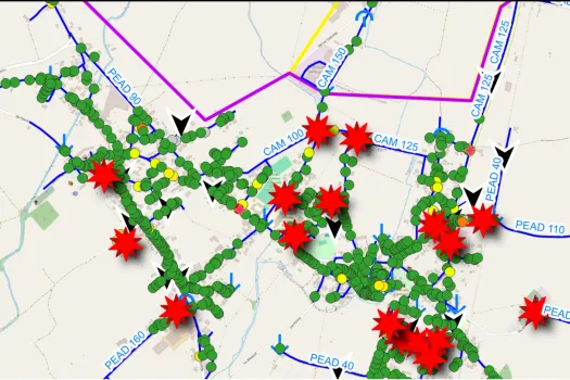
Water network surveying
Water supply
A reliable basis for understanding and planning the network.
Surveying the water supply network is the starting point for running the water service effectively. ETS inventories and georeferences every component of the network, surveying pipes, valves, gate valves, hydrants, manholes, chambers, control devices and metering points.
The work also covers meters and service connections, so that the layout of the network can be reconstructed in full and asset databases brought up to date. Every piece of information is verified in the field and delivered to the client's standards, providing checked data ready for integration into management and mapping systems.
Main activities
- Water supply network surveys
- Georeferencing of infrastructure
- Inventory of valves, hydrants and network devices
- Survey of meters and service connections
- GIS database updates
- Digital mapping
Sewerage
A complete picture of the network for more effective work.
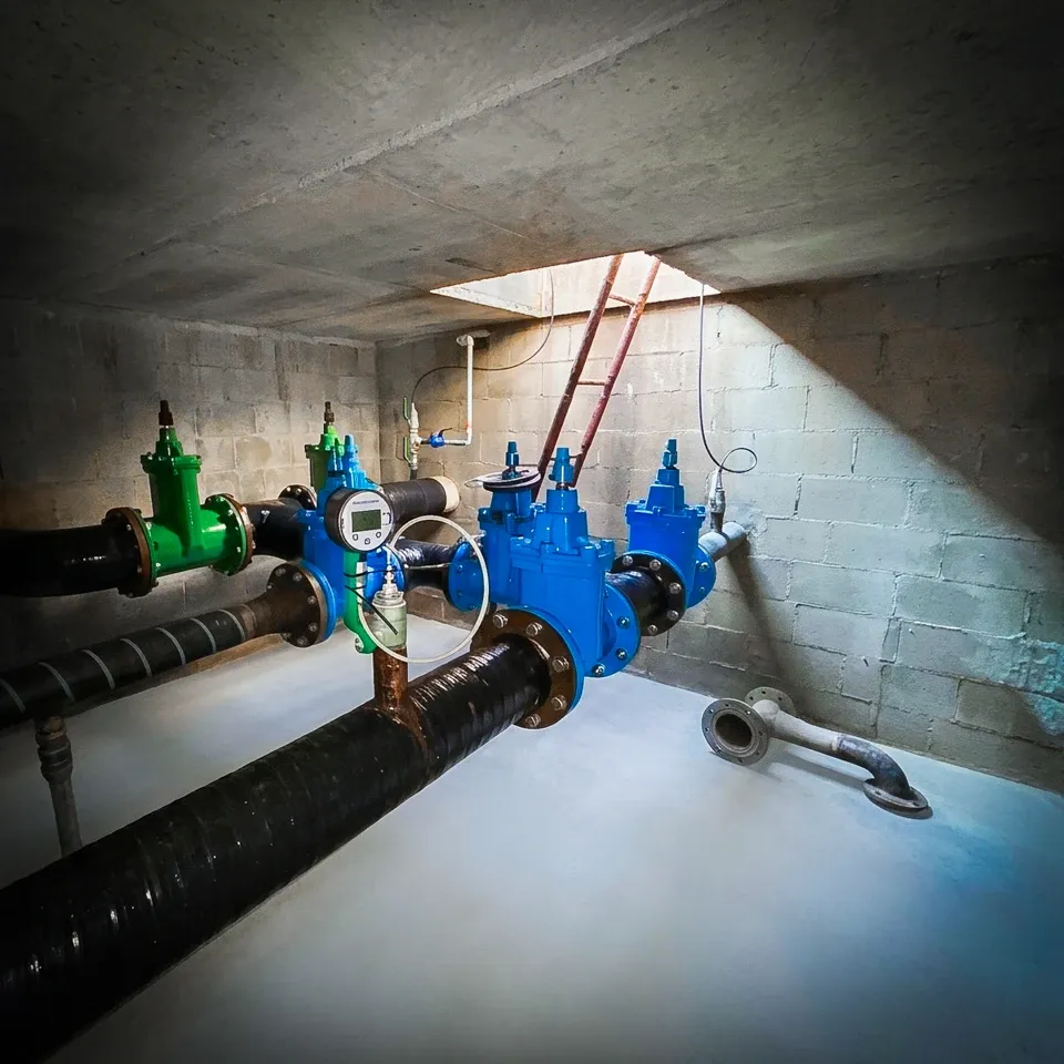
We carry out complete surveys of sewer networks, capturing geometric, elevation and functional data on pipes, manholes, structures and ancillary works. This makes it possible to reconstruct the configuration of the network precisely and to assess its condition and operation.
The data collected provides a solid information base for planned maintenance, hydraulic modelling, the design of new works and the updating of territorial information systems.
Main activities
- Sewer network surveys
- Inventory of manholes and structures
- Plan and elevation surveys
- Verification of the network configuration
- Technical map updates
- GIS delivery
- CCTV inspections
Plant and facility surveying
An accurate record of existing conditions.
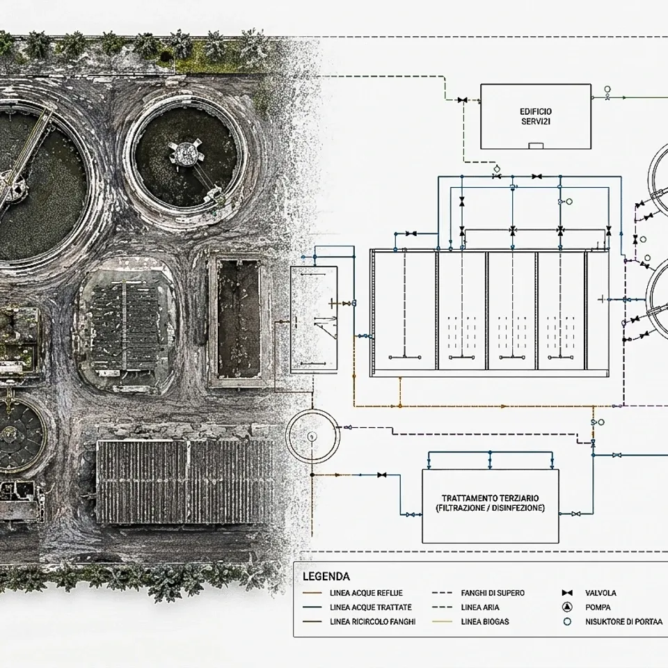
ETS surveys facilities and plants for operation, maintenance and design. We work on reservoirs, plant rooms, pumping stations, intake works, treatment plants and other technological infrastructure, capturing geometric and construction data with a high degree of precision.
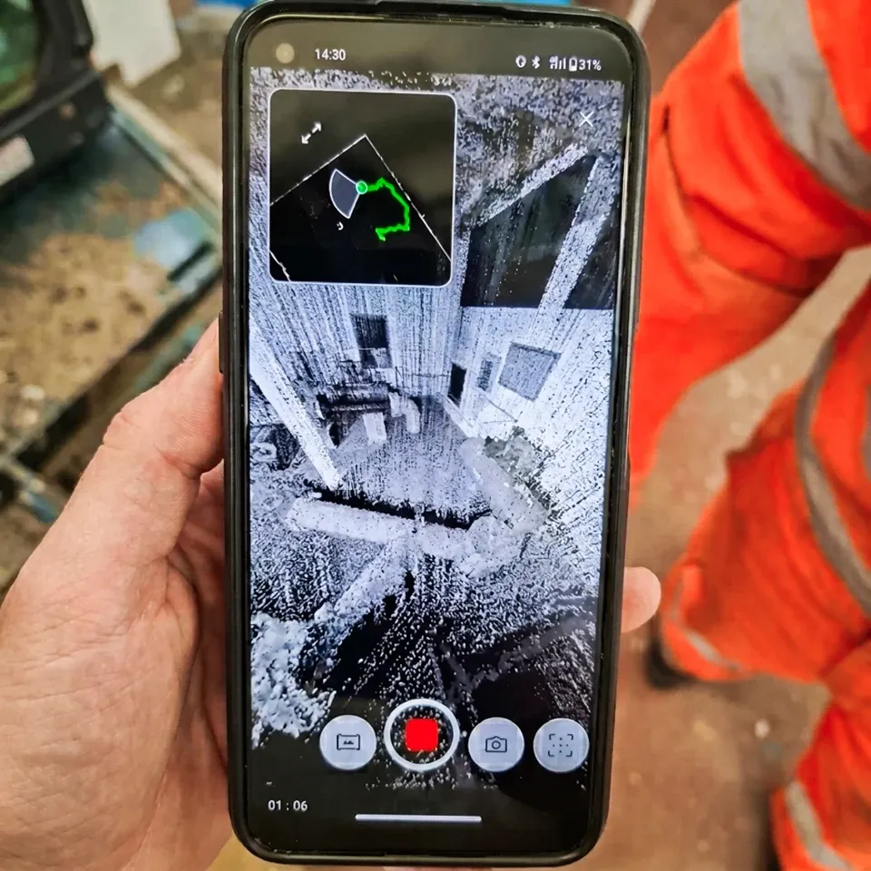
Technologies such as 3D laser scanning, topographic surveying and photogrammetry produce three-dimensional models, point clouds and up-to-date technical documentation, particularly useful when upgrading, extending and managing plant assets.
Areas of application
- Reservoirs
- Water plants
- Lifting stations
- Treatment plants
- Intake works
- Technological structures
Structure and infrastructure surveying
Up-to-date information documenting the condition of structures.
Our surveys also extend to complex civil structures and infrastructure, where accurate and complete data is essential for design and monitoring.
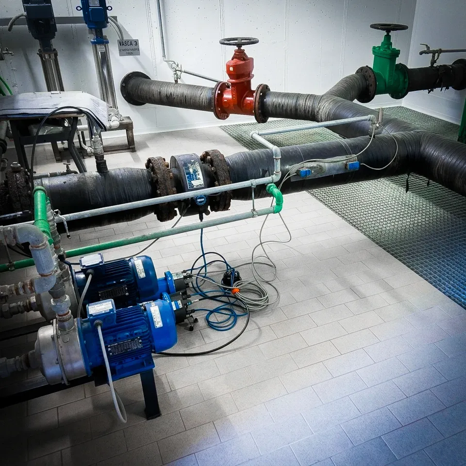
Bridges, dams, hydraulic works, industrial buildings, linear infrastructure and civil works are documented with high-precision survey technologies, producing technical drawings and digital models that serve as a reference for structural analysis, design and asset management.
Applications
- Bridges
- Dams
- Hydraulic works
- Civil infrastructure
- Industrial buildings
- Engineering works
Topographic surveying
Metric precision for every stage of the project
Topographic surveying is the geometric reference for all data acquisition. We carry out high-precision plan and elevation surveys with the latest topographic instruments, GNSS systems and total stations, ensuring accuracy and reliability in any operating conditions.
The measurements feed into design, monitoring, 3D modelling and map updating, with full integration into GIS, BIM and the digital platforms used to manage infrastructure.
Technologies
- GNSS
- Total stations
- 3D laser scanners
- Photogrammetry
- Drones (UAV)
- GIS and BIM
Surveying is the starting point. Knowledge is the goal.
Information gathered in the field is organised into structured, georeferenced data that works with the client's management systems.
We turn complex information into practical tools for managing and controlling infrastructure.